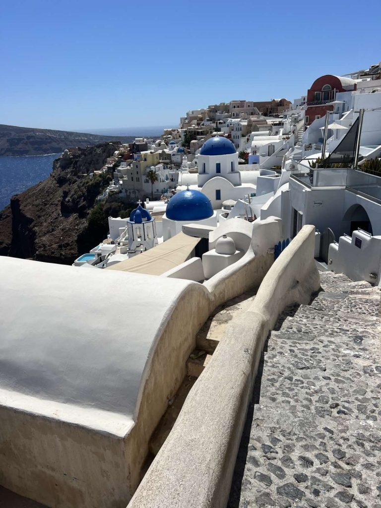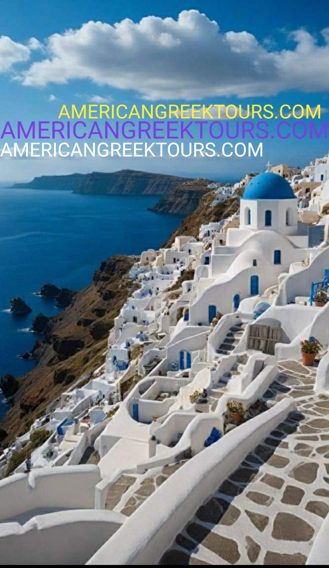
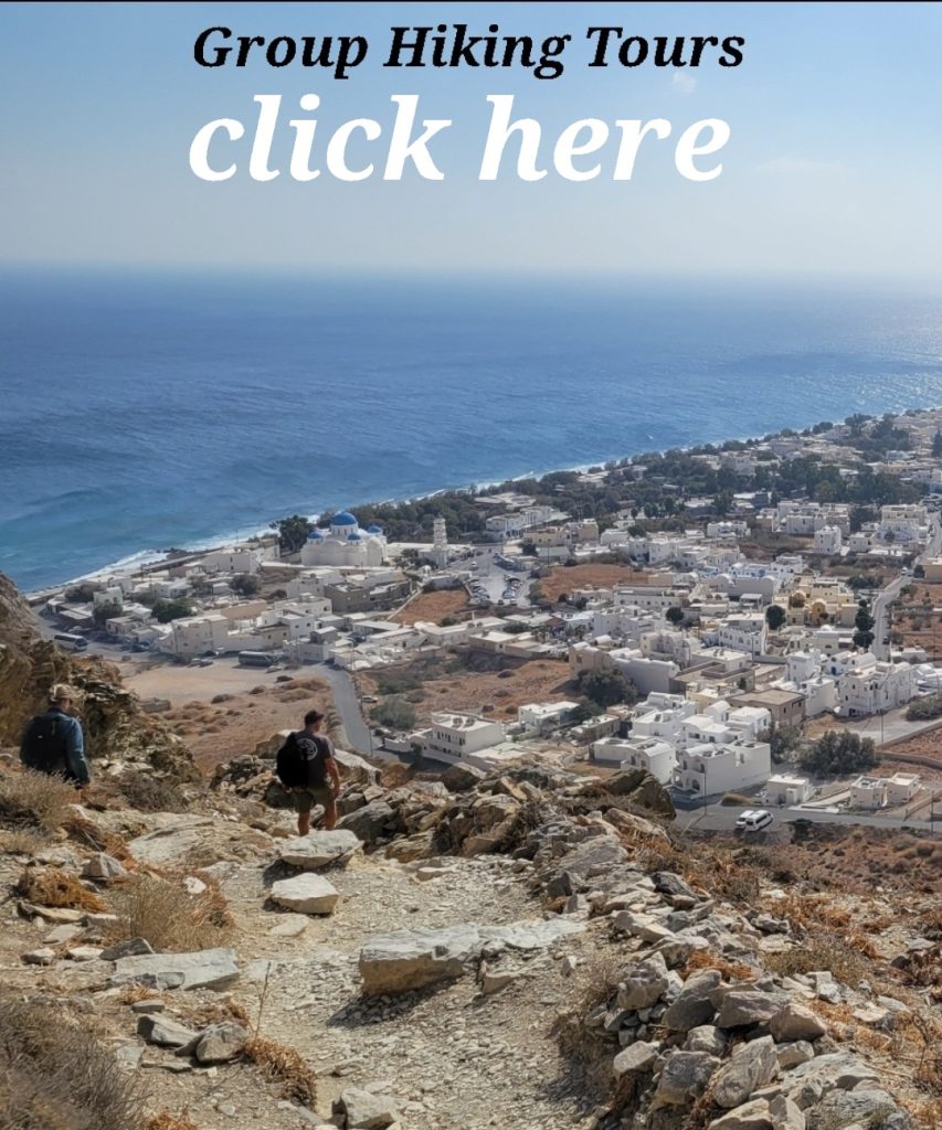
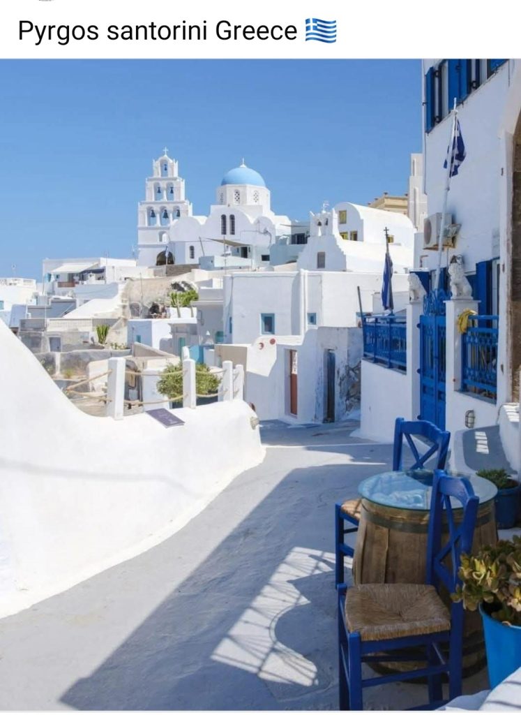
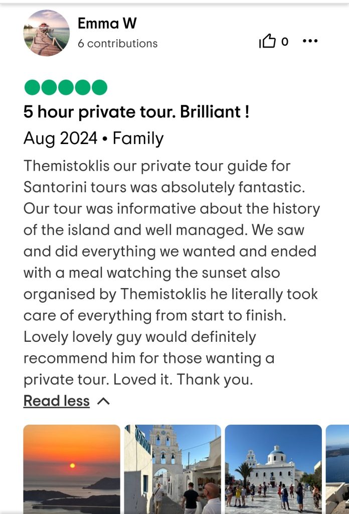
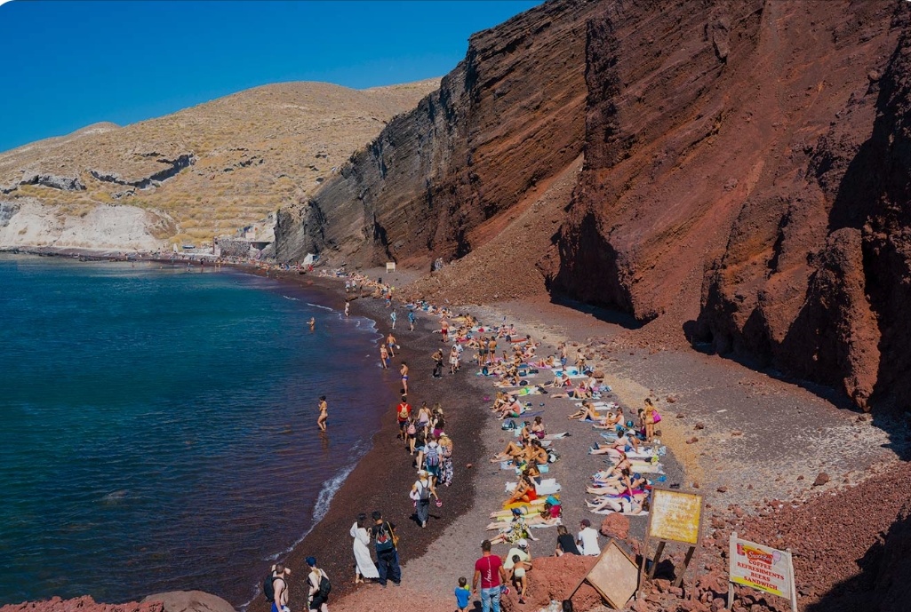
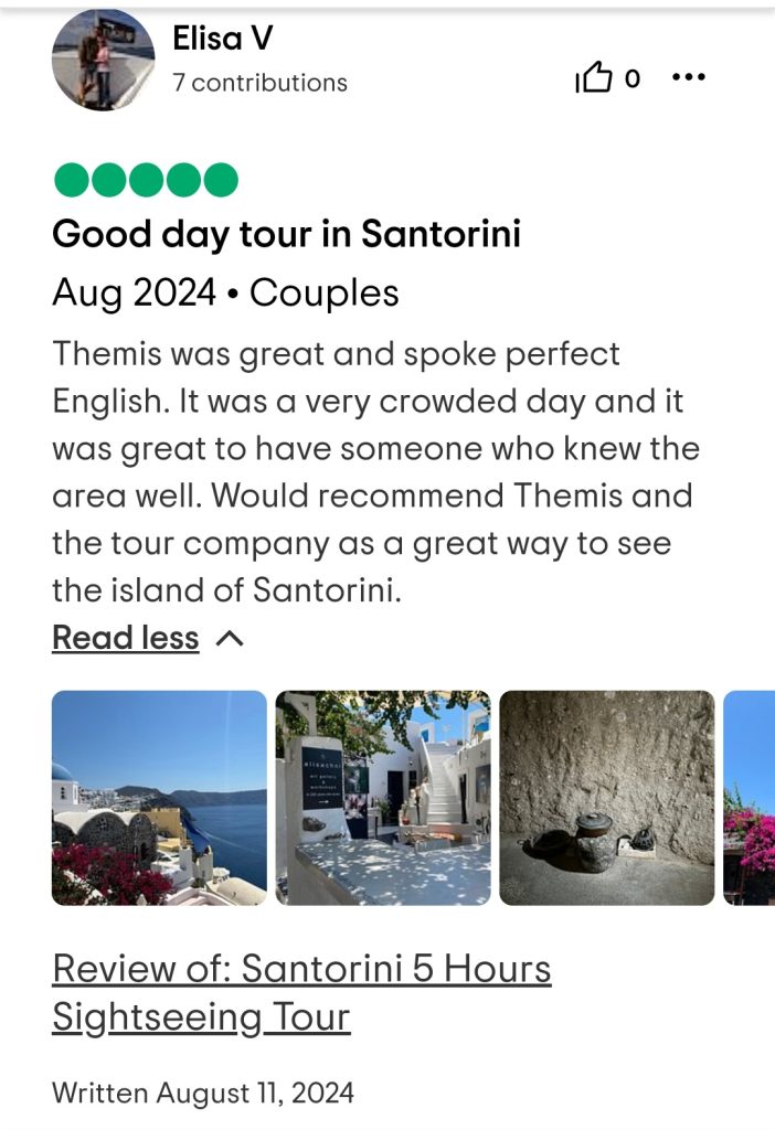
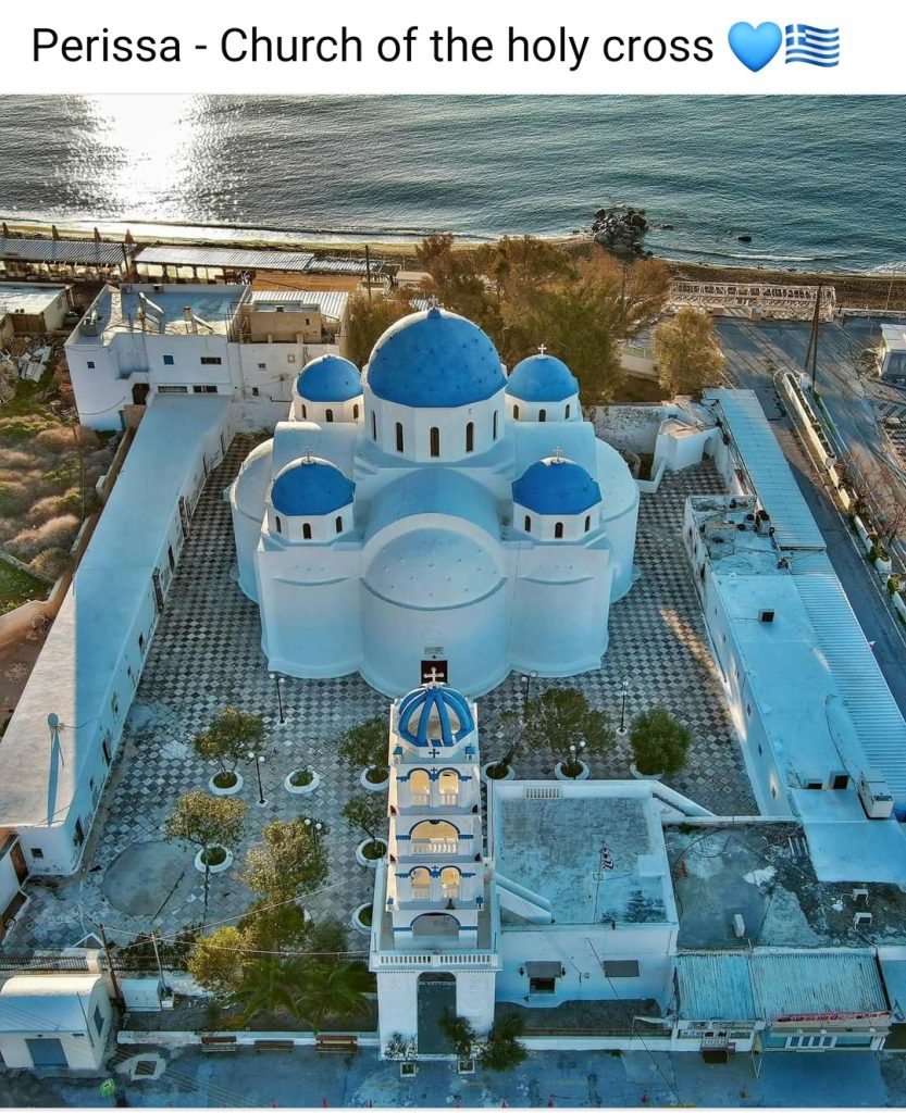
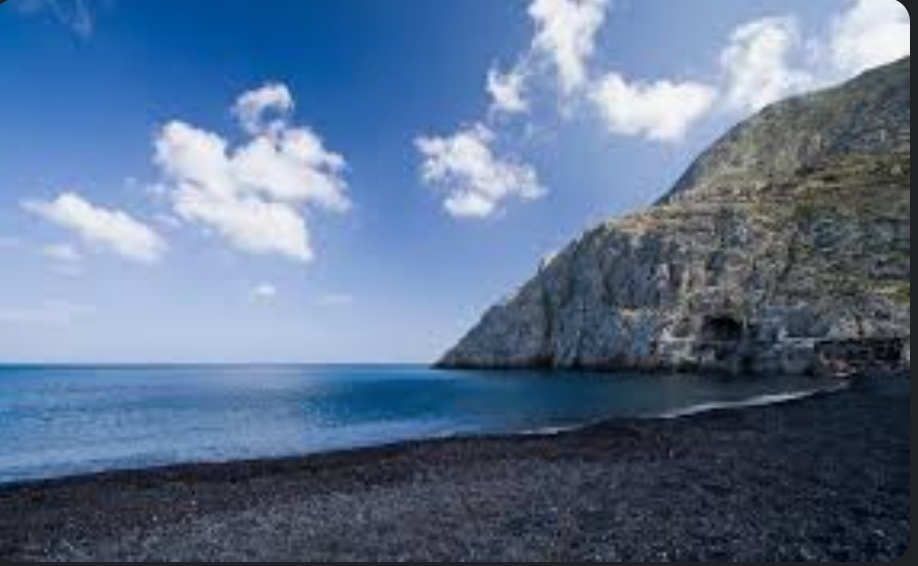
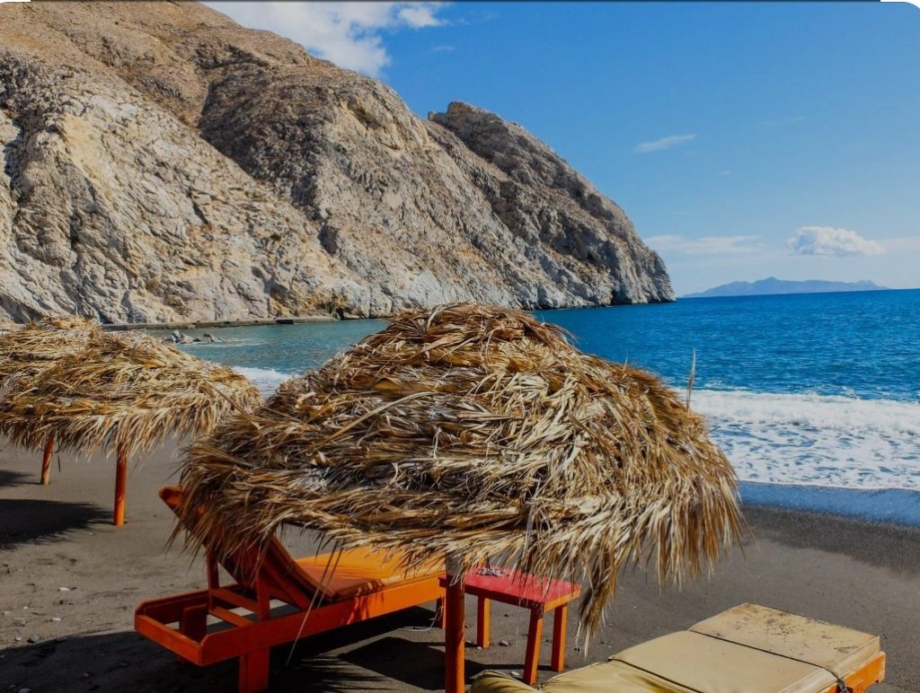
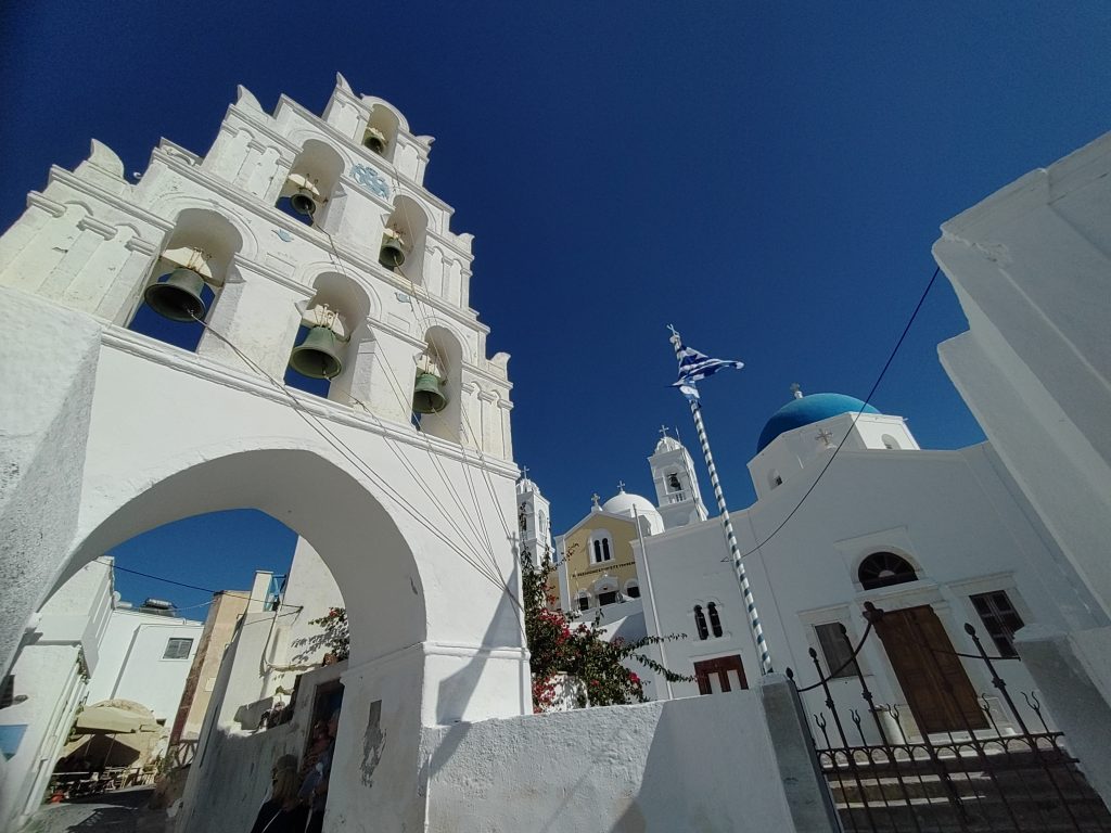
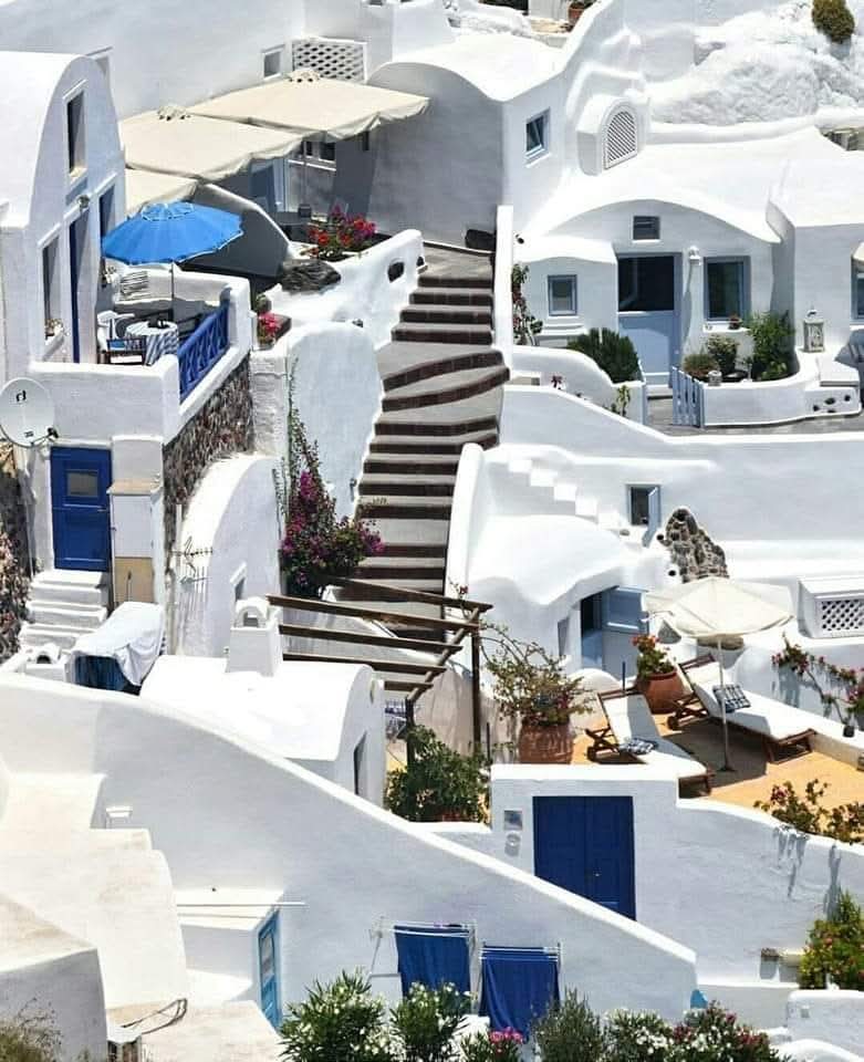
We chauffeur you and tour you through Oia, imerovigli and Firostefani at the crater view of the three bells Church, Pyrgos village, Megalohori-TheGrandVillage and it’s cave house, the heart of Santorini and it’s cliff church, Vlyhada’s volcanic wall sand beach, Emborio village, and finally the ruins of Saint Irene’s church of Perissa village and it’s black sand beach for lunch, dinner or drinks.
(The Private Tour includes: Lounge chairs on the beach)


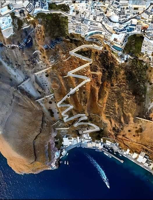
“Santorini”, officially “Thira” is a Greek island in the southern Aegean Sea, about 120 miles southeast from the mainland Greece. It is the largest island of a small, circular archipelago formed by the Santorini crater. It is the southernmost member of the Cyclades group of islands, with an area of approximately 28 sq miles and a population of a little over 15,000 people. The municipality of Santorini includes the inhabited islands of Santorini and Therasia, as well as the uninhabited islands of Nea Kameni, Palaia Kameni, and Aspronisi. The total land area is 34.990 sq miles.
The island was the site of one of the largest volcanic eruptions in recorded history, the Minoan eruption (sometimes called the Thera eruption), which occurred about 3,600 years ago at the height of the Minoan civilization. The eruption left a large crater surrounded by volcanic ash deposits hundreds of metres deep.


It’s the most active volcanic centre in the South Aegean Volcanic Arc, though what remains today is chiefly a water-filled crater. The volcanic arc is approximately 300 miles long and 12 to 25 miles wide. The region first became volcanically active around 3–4 million years ago, though volcanism on Thera began around 2 million years ago with the extrusion of dacitic lavas from vents around Akrotiri.
Santorini was named by the Latin Empire in the thirteenth century, and is a reference to “Saint Irene”, from the name of the old church in the village of Perissa. The name Santorini is a contraction of the name Santa Irini. Before then, it was known as “Kallísti” (most beautiful one), and “Strongili” (circular). The ancient name “Thera”, for Theras, the leader of the Spartans who colonized and gave his name to the island, was revived in the nineteenth century as the official name of the island and its main city, but the nickname Santorini is still popular.
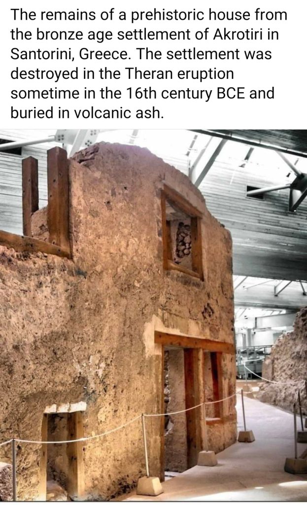
The oldest signs of human settlement are Late Neolithic 2000–1650 BC called “Akrotiri” which developed into one of the Aegean’s major Bronze Age ports, with recovered objects that came not just from Crete, but also from Anatolia, Cyprus, Syria, and Egypt, as well as from the Dodecanese and the Greek mainland.
The Minoan eruption provides a fixed point for the chronology of the second millennium BC in the Aegean, because evidence of the eruption occurs throughout the region and the site itself contains material culture from outside of Greece .The eruption occurred during the late Minoan period of Minoan chronology at Crete and the late Cycladic period of the surrounding islands.
Archaeological evidence, based on an established chronology of the Bronze Age of Mediterranean cultures, dated the eruption to around 1500 BC. These dates, however, conflict with radiocarbon dating which indicated that the eruption occurred between 1645–1600 BC, and tree ring data which yielded a date of 1628 BC. For those, and other reasons, the previous culturally based chronology has generally been questioned in northern Africa, including Cyrene. In the fifth century BC, Dorian Thera did not join the Delian League with Athens; and during the Peloponnesian War, Thera sided with Dorian Sparta, against Athens. The Athenians took the island during the war, but lost it again after the Battle of Aegospotami. During the Hellenistic period, the island was a major naval base for Ptolemaic Egypt. and became a definitive part of the independent Kingdom of Greece in 1832, with the Treaty of Constantinople.